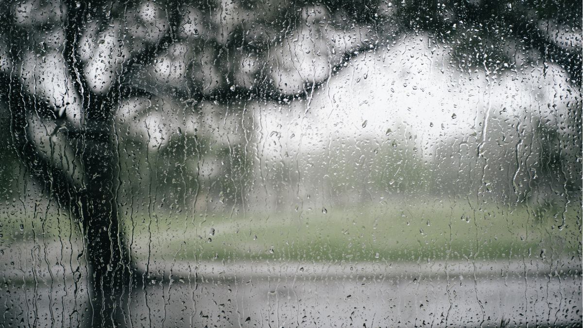
Adelaide is in for a wet, wintry stretch over the next week, with showers building through today, a soaking likely on Sunday, and only a gradual easing by the end of the working week. For locals, that means umbrellas, changing winds and a run of chilly days, with the heaviest rain expected across Sunday and another burst of unsettled weather returning on Tuesday.
Today stays cloudy across Adelaide with a very high chance of showers and a top of 17 degrees. Northerly to northeasterly winds will keep things moving, but the bigger change is still on the way as a vigorous cold front approaches the state from the west. Sunday looks to be the wettest and roughest day of the week for the city, with rain becoming widespread, possible afternoon thunderstorms and winds swinging from northerly to strong westerly later in the day. Temperatures will stay cool, ranging from 11 to 16 degrees, but it’s the 10 to 30mm rainfall forecast that will be the main story for Adelaide households, roads and weekend plans.
The pattern stays unsettled into Monday, though conditions should be a little less intense than Sunday. Showers are expected, most likely in the morning, before easing later in the day. Even so, it will remain cool, with a top of 15 degrees, and brisk west to southwesterly winds will keep it feeling properly wintry. Tuesday brings another active day, with showers again very likely and the chance of an afternoon or evening thunderstorm as another cold front moves through South Australia. Adelaide is forecast to reach 17 degrees, but with strong north to northwesterly winds shifting during the day, it won’t feel especially mild.
By Wednesday, the city is still looking at showers under partly cloudy skies, with a chilly 15-degree maximum and fresh westerly winds gradually easing. Thursday offers a small improvement rather than a full clearing, with a shower or two still possible and a top of 16 degrees. By Friday, Adelaide should finally catch a bit of a breather, with only a medium chance of a light shower, lighter winds and a top of 17 degrees. It’s not shaping up as a bright, settled spring preview just yet, but there are signs the week will finish in a gentler mood than it starts.
Across regional South Australia, this system is set to have a broader impact, especially through agricultural districts and coastal areas. Rain will spread across western and central parts later today before becoming more widespread on Sunday, then contracting back to showers from the west. Thunderstorms are possible about the agricultural area and south of the Pastoral districts on Sunday, while raised dust may develop in the northeast. Monday brings colder conditions, patchy morning frost around the Flinders Ranges and northwest SA, and lingering showers around agricultural areas, coasts and ranges. Tuesday turns unsettled again with scattered showers across the agricultural area, isolated falls pushing into the south of the Pastoral districts, and possible thunderstorms about windward coasts and ranges. Rainfall totals to the end of Tuesday are expected to reach 15 to 30mm across many agricultural districts, Eyre Peninsula, the Flinders Ranges and southern parts of the Pastoral districts, with 25 to 50mm about western-facing coasts and ranges. Local falls of 40 to 70mm are possible about the Mount Lofty Ranges, Flinders Ranges and with thunderstorms.
Warnings
Gale Warning for the following areas:
Far West Coast, Upper West Coast, Lower West Coast, Central Coast and Spencer Gulf
Strong Wind Warning for the following areas:
Adelaide Metropolitan Waters, South Central Coast, Gulf St Vincent, Investigator Strait, Upper South East Coast and Lower South East Coast
Warning to Sheep Graziers
For the Mount Lofty Ranges, West Coast, Lower Eyre Peninsula, Eastern Eyre Peninsula, Yorke Peninsula, Kangaroo Island, Flinders, Mid North, Riverland, Murraylands, North West Pastoral and North East Pastoral forecast districts.
Sheep graziers are warned that cold temperatures, rain and showers and westerly winds are expected during Sunday. Areas likely to be affected include the West Coast, Yorke Peninsula, Flinders, Mid North, Riverland and Murraylands forecast districts and parts of the Mount Lofty Ranges, Lower Eyre Peninsula, Eastern Eyre Peninsula, Kangaroo Island, North West Pastoral and North East Pastoral forecast districts. There is a risk of losses of lambs and sheep exposed to these conditions.
Adelaide 7-Day Summary Forecast
Saturday: Max 17°C – Showers.
Sunday: Min 11°C, Max 16°C – Rain.
Monday: Min 9°C, Max 15°C – Showers easing.
Tuesday: Min 9°C, Max 17°C – Showers.
Wednesday: Min 8°C, Max 15°C – Showers.
Thursday: Min 10°C, Max 16°C – Shower or two.
Friday: Min 10°C, Max 17°C – Possible shower.