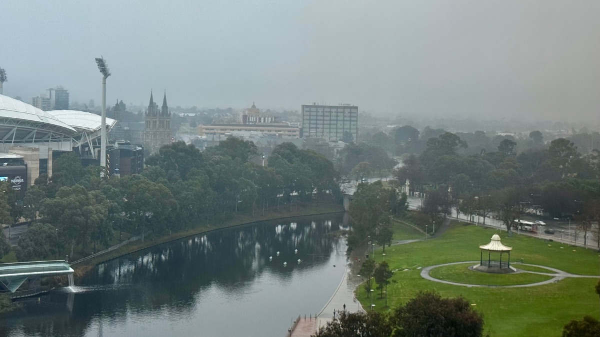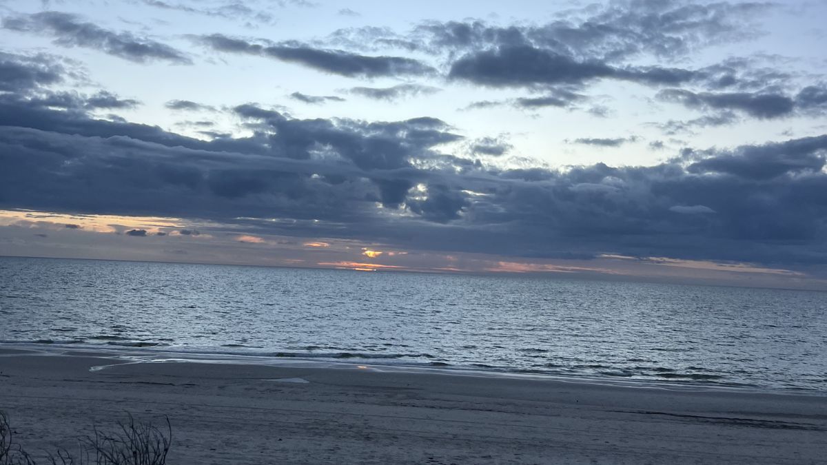
Adelaide is heading into a cooler, wetter stretch this week, with dry conditions today giving way to increasing showers from Monday night and a much damper middle of the week across the city.
Sunday is the calmest day in the seven-day outlook, with partly cloudy skies across Adelaide and a top of 16 degrees. Light easterly winds will ease during the afternoon, making for a fairly gentle end to the weekend, even if it stays on the cool side. Monday brings a slight lift in temperature, climbing to 19 degrees after a chilly 9-degree start, but the chance of showers increases later in the day as cloud builds and winds freshen from the east before turning northeasterly.
By Tuesday, Adelaide moves into the wettest part of the forecast. Showers are expected to increase through the day, with a very high chance of rain and between 1 and 8 mm possible. Northeasterly winds will also pick up, and the city should reach around 20 degrees before conditions turn more unsettled. Wednesday looks similarly damp, with showers most likely in the morning before easing later in the day. There is also the chance of a thunderstorm developing about the northern suburbs in the afternoon and evening, which is worth keeping an eye on if you’re commuting or spending time outdoors. Temperatures are expected to hold near 19 degrees.
The second half of the week stays cool and changeable. Thursday brings a high chance of showers and a top of 17 degrees, with winds shifting westerly during the day. Friday remains partly cloudy with another shower or two possible and a cooler maximum of 16 degrees. By Saturday, Adelaide is expected to stay partly cloudy with a medium chance of a morning shower and a top of 15 degrees. In short, it’s a week for layers, umbrellas, and keeping an eye on the radar from Tuesday onwards, especially through the middle of the week when rain is most likely.
Across South Australia, the picture is more active, particularly away from the metro area. A high pressure system is helping keep some parts of the state settled early, but troughs moving through are set to bring broader shower activity and the risk of thunderstorms, especially in the east and northeast. On Sunday, isolated light showers are possible over parts of the Southern Agricultural Area, while showers continue in the north and west before shifting northeast later in the day. Monday sees rain and showers becoming more widespread through the northeast and extending southwest into the Eyre Peninsula, with a slight chance of showers reaching as far south as Kangaroo Island. Thunderstorms are possible about the North East Pastoral and Flinders districts.
Tuesday and Wednesday are shaping up as the most unsettled days statewide, with showers possible across all districts on Tuesday before easing in the west later, and more showers, along with possible thunderstorms in central and eastern districts, developing on Wednesday. Rainfall totals are generally expected to stay light across much of the state, but parts of the Agricultural Areas, the Pastoral districts and the Flinders could see 5 to 15 mm by the end of Wednesday, with isolated falls of 15 to 30 mm possible in the northeast.
Looking ahead to Thursday through Saturday, showers are expected across much of the state before gradually contracting east and clearing by Saturday, with daytime temperatures below average and generally cool southwest to southeasterly winds.
Happy Sunday!
Adelaide 7-Day Summary Forecast
– Sunday: Max 16°C – Partly cloudy.
– Monday: Min 9°C, Max 19°C – Possible shower.
– Tuesday: Min 11°C, Max 20°C – Showers increasing.
– Wednesday: Min 12°C, Max 19°C – Showers easing.
– Thursday: Min 9°C, Max 17°C – Shower or two.
– Friday: Min 9°C, Max 16°C – Shower or two.
– Saturday: Min 8°C, Max 15°C – Possible shower.