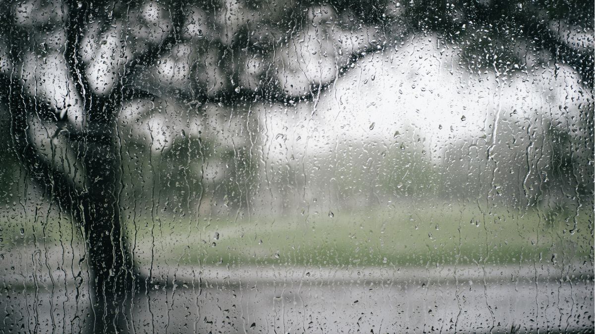
Adelaide is in for a blustery, showery start to the weekend, with Saturday bringing windy conditions and a risk of thunderstorms before the city settles into a calmer, cooler run of spring weather across the week.
Today is easily the roughest day in the seven-day outlook for Adelaide. Cloudy skies, a very high chance of showers and strong winds will make for a wintry feel across the metro area, with tops only reaching 17 degrees in the city and closer to 14 in Mount Barker.
There is also the chance of an early thunderstorm about the hills and southern suburbs, and damaging winds are possible as west to northwesterly winds shift west to southwesterly through the day. Showers are expected to become less likely this afternoon, but it will stay windy well into the day.
Conditions improve on Sunday, although it will still feel cool. Adelaide is forecast to be partly cloudy with just a slight chance of a shower and a top of 17 degrees after an overnight low of 10.
Monday looks a touch brighter again, with partly cloudy skies, light winds and a slightly warmer maximum of 19 degrees. Northern suburbs could see some morning fog, so early commuters may want to allow a little extra time.
By Tuesday, cloud is expected to increase again across Adelaide, with another chance of morning fog before light winds turn southwesterly and then southerly later in the day. The temperature is set to reach 18 degrees after a chilly start of 7 degrees.
Wednesday then turns a little cooler, with partly cloudy conditions and southeasterly winds picking up, holding the top to 16 degrees.
The back end of the week is looking far more inviting. Thursday is forecast to be sunny with a crisp morning low of 7 degrees before warming to 19, with southeasterly winds tending easterly.
Friday continues that welcome improvement, with sunny skies, light winds and the warmest day of the stretch so far, reaching 21 degrees.
Severe Weather Warning for DAMAGING WINDS in Mid North, Lower South East and parts of Mount Lofty Ranges, Flinders, Murraylands and Upper South East districts.
Locations which may be affected include Mount Gambier, Clare, Naracoorte, Keith, Jamestown and Burra.
Marine Wind Warnings for Saturday 5 September
Gale Warning for the Central Coast, South Central Coast, Investigator Strait, Upper South East Coast and Lower South East Coast.
Strong Wind Warning for the Adelaide Metropolitan Waters, Far West Coast, Upper West Coast, Lower West Coast, Spencer Gulf and Gulf St Vincent
Adelaide 7-Day Summary Forecast
Saturday: Max 17°C – Cloudy. Very high chance of showers, becoming less likely this afternoon.
Sunday: Min 10°C, Max 17°C – Partly cloudy. Slight chance of a shower.
Monday: Min 8°C, Max 19°C – Partly cloudy. The chance of morning fog about the northern suburbs.
Tuesday: Min 7°C, Max 18°C – Becoming cloudy. The chance of morning fog.
Wednesday: Min 10°C, Max 16°C – Partly cloudy.
Thursday: Min 7°C, Max 19°C – Sunny.
Friday: Min 8°C, Max 21°C – Sunny.