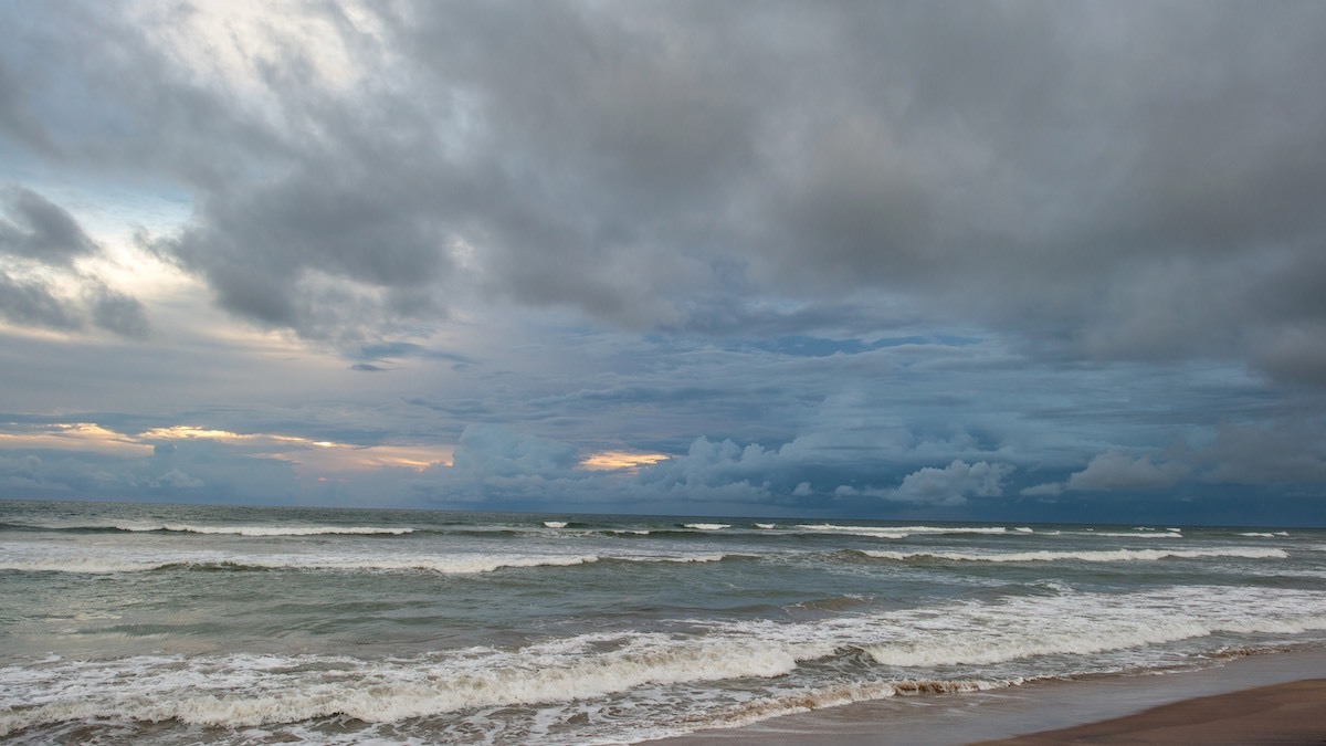
Adelaide is heading into a wet and windy start to June, with showers building through Sunday before a rougher burst of weather arrives early in the week. The big story for South Australia is a low pressure system tracking south of the state on Monday and Tuesday, bringing widespread rain, possible thunderstorms and the risk of damaging winds, especially around coastal and exposed areas.
For Adelaide, today stays relatively cool and unsettled, with a top of 17 degrees and a high chance of showers. Conditions should ease a little through the middle of the day as winds temporarily become light, before turning north to northeasterly later tonight.
Tomorrow looks like the most disruptive day of the week in the city. Adelaide is forecast to reach 20 degrees under cloudy skies, but that mild top comes with very high chances of showers, the chance of an afternoon or evening thunderstorm, and strong northerly winds that are expected to become quite gusty.
Tuesday stays blustery as the change moves through. Showers are again very likely, rainfall totals may climb to between 4 and 15mm, and there is still a chance of a thunderstorm during the morning. Winds will swing from northwesterly to westerly and remain strong, with another day where conditions could feel much harsher than the forecast top of 18 degrees suggests.
By Wednesday, Adelaide settles into a run of classic wintry weather. Showers continue, the top slips to 17 degrees, and fresh westerly winds will keep things feeling cool across the suburbs and near the coast. Thursday follows a very similar pattern, with plenty of cloud, more showers and a colder maximum of 16 degrees. Rainfall across these middle days could add up quickly, particularly in elevated areas.
The end of the week brings only a gradual improvement. Friday is forecast to be partly cloudy with a high chance of showers and a top of 18 degrees, while Saturday looks a touch calmer with a medium chance of a shower or two and another maximum of 18 degrees. In short, Adelaide’s next seven days are shaping up as damp, breezy and properly winter-like, with the roughest conditions expected from Monday into Tuesday before the city slowly steadies later in the week.
Across regional South Australia, the same broad weather pattern will be felt in different ways. Southern agricultural districts, the Mount Lofty Ranges, Kangaroo Island and the South East are set to see the most meaningful rainfall, with totals between 15 and 30mm possible by the end of Wednesday, and isolated falls of 30 to 60mm. The northern agricultural area is looking at lighter totals of 2 to 10mm, while pastoral districts south of about Coober Pedy to Marree are expected to see less than 5mm. Showers and possible thunderstorms will spread broadly south of a line from Coober Pedy to Marree on Monday, before gusty westerly conditions extend across much of the state on Tuesday and Wednesday.
Coastal communities, particularly along western and southern waters, should also be prepared for hazardous marine conditions and strong winds. Inland, flooding issues continue around the Warburton River and lower Cooper Creek, with elevated river levels and road impacts still affecting travel in the far north-east.
Happy Sunday, stay dry!
Adelaide 7-Day Summary Forecast
– Sunday: Max 17°C – Shower or two.
– Monday: Min 11°C, Max 20°C – Showers. Windy.
– Tuesday: Min 13°C, Max 18°C – Showers. Windy.
– Wednesday: Min 13°C, Max 17°C – Showers.
– Thursday: Min 11°C, Max 16°C – Showers.
– Friday: Min 11°C, Max 18°C – Showers.
– Saturday: Min 11°C, Max 18°C – Shower or two.