

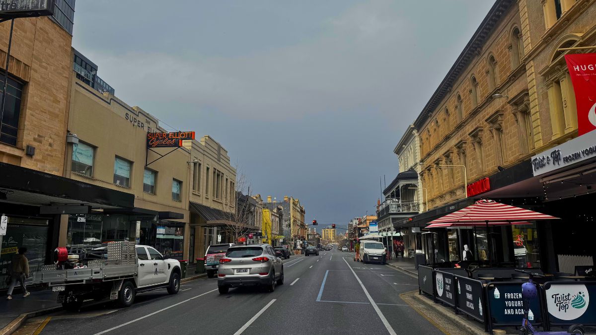
Adelaide is heading into a wet and cooler change this weekend, with rain, gusty winds and the chance of thunderstorms set to move across the city before calmer spring conditions return later in the week.
After a mild start to Saturday, conditions in Adelaide are expected to turn more unsettled as the day goes on. The Bureau of Meteorology says showers will become more likely through the afternoon, with rain developing during the evening and a possible thunderstorm in the mix. The city is forecast to reach 27 degrees before winds swing around, shifting from northeast to southeast and southwesterly later in the day. Rainfall totals could land anywhere from 4 to 20mm, so it’s a day to keep plans flexible, especially for anything outdoors.
Sunday looks like the wettest and coolest day of the Adelaide stretch, with cloudy skies and rain likely through the morning and afternoon. The temperature will drop sharply to a top of just 18 degrees after an overnight low of 13, making it feel very different from Saturday’s warmth. South to southwesterly winds of 20 to 30km/h will add to the chill before easing late in the evening.
By Monday, the worst of the weekend system should have moved on, though Adelaide isn’t completely drying out just yet. A partly cloudy day is on the cards, with a medium chance of a shower and a cooler top of 19 degrees. Winds will stay fairly light overall, becoming west to southwesterly during the morning before easing again at night.
Tuesday brings a quieter picture, with only a slight chance of a shower and a forecast top of 20 degrees. Partly cloudy skies should allow for a more settled day across the metro area, while lighter winds keep things relatively comfortable. That calmer run continues into Wednesday, which is shaping up as one of the more straightforward days of the week, with partly cloudy conditions, light winds and a top of 20 degrees.
A modest warm-up arrives on Thursday as Adelaide heads back to 23 degrees under partly cloudy skies. There’s only a slight chance of a late shower, but for most people it should feel like a more typical spring day. By Friday, temperatures lift again to 26 degrees, although another shower or two may return as winds shift from the east and northeast around to the west during the day. Overall, Adelaide’s seven-day outlook tells the story of a sharp weekend change followed by several cooler, quieter days before a milder finish to the working week.
Across South Australia, this weekend’s change is expected to be much broader and more active than what Adelaide will see alone. Showers and possible thunderstorms are forecast to spread across much of the state on Saturday, tending to periods of rain in some areas. Severe thunderstorms are possible, particularly around the northern agricultural area and nearby districts, with the risk of damaging wind gusts and large hail. On Sunday, the storm risk contracts to the far northeast, while showers are likely to continue over agricultural districts. Temperatures across the state are expected to slip below average after Saturday’s warmer conditions, with the northwest forecast to turn particularly cool on Sunday. Into Monday and Tuesday, showers linger about the agricultural areas, western coasts, and parts of the north and west, though a ridge of high pressure should gradually bring more settled conditions as the new week continues. Rainfall totals of 2 to 10mm are expected broadly across SA, with 10 to 20mm possible in parts of the agricultural areas, ranges and western coasts, and heavier local falls where thunderstorms hit.
Warnings
Strong Wind Warning for the following areas:
Far West Coast, Upper West Coast, Lower West Coast, Central Coast, Spencer Gulf and Gulf St Vincent
Sheep graziers are warned that cold temperatures, rain and showers and southerly winds are expected during Saturday and Sunday. Areas likely to be affected include the Mount Lofty Ranges, West Coast, Yorke Peninsula, Murraylands, Upper South East and Lower South East forecast districts and parts of the Lower Eyre Peninsula, Eastern Eyre Peninsula, Kangaroo Island, Mid North and North West Pastoral forecast districts. There is a risk of losses of lambs and sheep exposed to these conditions.
Adelaide 7-Day Summary Forecast
Saturday: Max 27°C – Rain developing. Possible storm.
Sunday: Min 13°C, Max 18°C – Rain.
Monday: Min 10°C, Max 19°C – Shower or two.
Tuesday: Min 10°C, Max 20°C – Partly cloudy.
Wednesday: Min 10°C, Max 20°C – Partly cloudy.
Thursday: Min 11°C, Max 23°C – Partly cloudy.
Friday: Min 14°C, Max 26°C – Shower or two.
Related
Previous articleCOMING SOON: New wine bar 3 Vines is bringing South Australian flavour to King William Road
