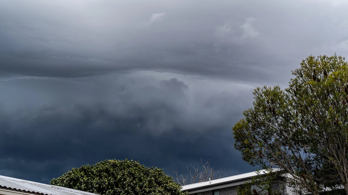
Adelaide is heading into a cold, wet and blustery start to June, with showers building across the city this weekend before a stronger burst of wind and rain arrives early next week.
Today will stay cloudy with a very high chance of showers, though rainfall is expected to ease a little by evening. Tops will struggle to get beyond 17 degrees in the city, with similar conditions across the suburbs including Elizabeth, Noarlunga and Glenelg, while Mount Barker will feel cooler again at 15 degrees. Westerly winds will shift southwesterly later in the day, adding to the wintry feel.
Tomorrow brings only a small improvement, with partly cloudy skies and the chance of a shower or two hanging around. Adelaide is tipped to start at 12 degrees and reach 17, with winds easing in the afternoon before conditions begin to shift again.
That shift becomes much more noticeable on Monday, when Adelaide moves into the most active part of the forecast. Cloudy skies, widespread showers and the chance of a thunderstorm are all on the cards, along with damaging winds possible during the afternoon and evening. Temperatures will actually lift to a milder 21 degrees, but it will feel far less settled as northerly winds strengthen and turn northwesterly through the day.
Tuesday stays wet and windy, with another very high chance of showers, possible thunderstorms in the morning and a top of 18 degrees. Winds are forecast to swing from strong northwesterlies to westerlies during the morning, which could make for difficult conditions on the roads and around exposed coastal areas.
By Wednesday, Adelaide remains in showery territory, though the weather should be a touch less intense than earlier in the week. A partly cloudy day is forecast with a very high chance of showers and a maximum of 18 degrees.
Thursday looks similar again, with more showers likely, the chance of a thunderstorm, and northwesterly winds keeping the air cool and unsettled. Friday rounds out the seven-day stretch with partly cloudy skies and a high chance of showers, while temperatures hold around 17 degrees.
Across regional South Australia, the weekend begins with isolated showers through the agricultural areas, western coasts and southern parts of the Pastoral districts, with more frequent falls about windward coasts and ranges. Sunday keeps light showers around the southern agricultural districts, while rain begins developing again in the west later in the day. The more significant change arrives Monday and Tuesday, when gusty showers, patchy rain and possible thunderstorms spread broadly across areas south of a line from Coober Pedy to Leigh Creek.
The heaviest falls are expected in the Mount Lofty Ranges, Kangaroo Island and the South East, where totals of 15 to 30mm are forecast by the end of Tuesday, with isolated falls of 30 to 60mm. Inland flood impacts are still a major concern too, with elevated river levels continuing along the Warburton River at Poothapootha Waterhole and the lower Cooper Creek around Innamincka. Many roads and access tracks remain affected by flooding, so anyone travelling through remote areas should check conditions carefully before setting out.
Happy Saturday, stay dry!
Adelaide 7-Day Summary Forecast
Saturday: Max 17°C – Showers.
Sunday: Min 12°C, Max 17°C – Shower or two.
Monday: Min 11°C, Max 21°C – Showers. Windy.
Tuesday: Min 14°C, Max 18°C – Showers.
Wednesday: Min 12°C, Max 18°C – Showers.
Thursday: Min 12°C, Max 18°C – Showers.
Friday: Min 11°C, Max 17°C – Showers.