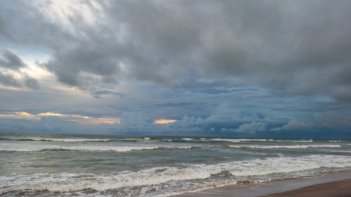
Adelaide is in for a cold, grey stretch to finish July, with showers, brisk winds and below-average temperatures settling over the city before a calmer weekend brings slightly brighter conditions.
Today looks like the wettest and windiest day of the week for Adelaide, with a very high chance of showers and a top of just 15 degrees in the city. Northwesterly winds will swing west to southwesterly by late morning, picking up to 25 to 35km/h and adding a sharp winter edge across the suburbs. Falls of 2 to 6mm are possible, with Elizabeth, Glenelg and Noarlunga all tipped to reach 15 degrees, while Mount Barker stays cooler at 13.
The showery pattern continues into Wednesday, although it should be lighter and more patchy than today. Adelaide can expect another cloudy day with a medium chance of showers, mainly in the morning and afternoon, and a cool range between 8 and 14 degrees. Southwesterly winds will ease later in the day, which should make conditions feel a little less blustery by evening.
By Thursday, the city begins to settle into a quieter winter pattern. Cloud cover is expected to linger, but the chance of rain drops back to only a slight possibility of a shower. Light winds and a chilly morning low of 5 degrees will make for a cold start, before Adelaide reaches around 14 degrees in the afternoon.
Friday follows a similar line, with cloudy skies, light winds and just a 10 per cent chance of rain. There is also the chance of morning fog about the northern suburbs, so early commuters may want to allow a little extra time on the road. Temperatures will range from 7 to 15 degrees.
The first weekend of August brings a small lift in conditions. Saturday is forecast to be partly cloudy with light winds becoming northerly to northwesterly through the day, and a top of 15 degrees. Sunday then edges brighter, with mostly sunny skies, a slight chance of a shower and a maximum of 16 degrees. Winds will turn from north to northeasterly before shifting northwesterly during the morning.
Looking ahead to Monday, Adelaide keeps the run of fairly settled winter weather going. Partly cloudy skies and a slight chance of a shower are forecast, with light winds becoming northwest to northeasterly during the morning and temperatures reaching around 15 degrees. In short, it is a week that starts damp and gusty, then gradually eases into cold but more manageable conditions across the metro area.
Across the rest of South Australia, the same system is bringing showers through the Agricultural Area and parts of the west coast today, extending into the south of the Pastoral districts before contracting to southern coastal districts by evening. Morning frost patches are expected about the pastoral districts, while the far southeast faces the most unsettled conditions, with isolated gusty thunderstorms possible about the southern coastal fringe of the Lower South East this evening and small hail also possible with showers in the southeast.
From Wednesday, a high pressure system moving over the Bight should help settle conditions across much of the state, though isolated light showers may still linger about the Agricultural Area and west coast, especially along exposed coasts and ranges. Frost and fog become more of a feature later in the week, including morning fog in the southwest on Wednesday, then morning fog and frost about Eyre Peninsula and on and east of the ranges on Thursday. By Friday, inland frost and fog about the Agricultural Area on and east of the ranges are also possible.
Rainfall totals to the end of Friday are expected to stay fairly modest, generally less than 3mm across the Northern Agricultural Area and south of the Pastoral districts, with 2 to 10mm about the Southern Agricultural Area and isolated falls of 5 to 15mm possible about the Lower South East.
Happy Tuesday, stay dry!
Warnings
Wind Warnings for Tuesday, July 28th
Gale Warning for the following area:
Lower South East Coast
Strong Wind Warning for the following areas:
Central Coast, South Central Coast, Investigator Strait and Upper South East Coast
Wind Warnings for Wednesday, July 29th
Strong Wind Warning for the following area:
Lower South East Coast
Adelaide 7-Day Summary Forecast
– Tuesday: Max 15°C – Showers.
– Wednesday: Min 8°C, Max 14°C – Shower or two.
– Thursday: Min 5°C, Max 14°C – Cloudy.
– Friday: Min 7°C, Max 15°C – Cloudy.
– Saturday: Min 6°C, Max 15°C – Partly cloudy.
– Sunday: Min 7°C, Max 16°C – Mostly sunny.
– Monday: Min 7°C, Max 15°C – Partly cloudy.