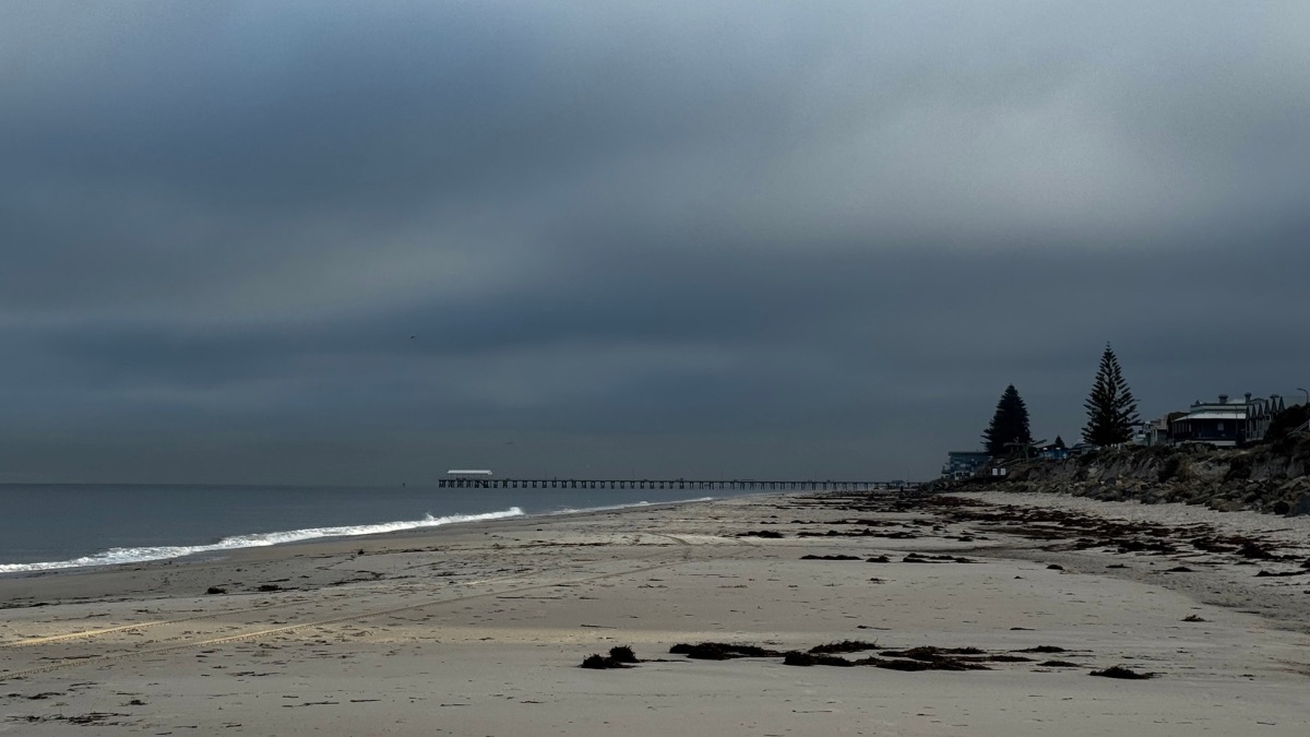
Adelaide is heading into a cool, increasingly wet stretch, with showers building again by the end of the week. After a damp Wednesday, the city will briefly settle before another burst of rain, gustier winds and cloudy skies moves in across the weekend and into early next week.
Today, Adelaide can expect a partly cloudy sky, patchy morning fog and a high chance of showers, though those falls should ease later this afternoon and into the evening. Light winds will become south to southeasterly through the middle of the day before dropping off again, with the city reaching a top of 19 degrees. Tomorrow looks a little calmer, with partly cloudy conditions, another chance of morning fog and only a slight chance of a shower. It will stay cool, with a minimum of 11 and a maximum of 18 degrees under light winds.
By Friday, the weather starts to turn again. Cloud will thicken across Adelaide and showers are expected to increase, especially during the afternoon and evening. Morning fog is also possible around the northern suburbs before winds swing around from the north to northwesterly, then tend west to northwesterly during the day. The temperature will sit between 12 and 19 degrees, making for a cool and grey end to the working week.
Saturday looks set to be the wettest day of the weekend so far, with a very high chance of showers and westerly winds of 20 to 30 km/h bringing a brisk feel across the city. Adelaide’s top will reach 18 degrees after a morning low of 13. Showery weather will linger into Sunday, most likely during the morning, before conditions begin to ease a little later in the day. It will remain cool though, with a maximum of 17 degrees and westerly winds continuing.
There is no real sign of a dry start to the new week. Monday is forecast to stay cloudy with a very high chance of showers and strengthening winds, shifting from north to northeasterly before becoming north to northwesterly at 25 to 35 km/h during the day. Temperatures will lift slightly, reaching 20 degrees, but rainfall totals of 4 to 15 mm could make for a fairly wet day around town. Tuesday keeps that unsettled pattern in place, with more showers, cloudy skies and northwesterly winds turning westerly during the day. The city is heading for another cool top of 18 degrees, with possible rainfall of 6 to 20 mm.
Across regional South Australia, the broader picture is also leaning cool and unsettled. Isolated showers are expected to become less likely through Wednesday, though thunderstorms are possible about the far northeast and fog patches may affect areas on and east of the ranges. Thursday stays fairly quiet, with morning fog around the agricultural area and western districts and isolated light showers about southern coasts and ranges.
On Friday, showers begin to spread across western coasts and the southern agricultural area before becoming more scattered about southern and central coasts. By Saturday, showers continue across the agricultural area, western coasts and south of the pastoral districts, with the heaviest patchy falls expected around southern and central coasts. Rainfall totals to the end of Saturday are forecast to be around 1 to 5 mm across much of the state, increasing to 5 to 15 mm across the agricultural area, western coasts, and parts of the Flinders and North East Pastoral districts. For Adelaide’s coastal waters, conditions remain relatively calm through Thursday before becoming choppier on Friday and Saturday as winds freshen and showers increase.
Happy Wednesday!
Adelaide 7-Day Summary Forecast
Wednesday: Max 19°C – Shower or two.
Thursday: Min 11°C, Max 18°C – Partly cloudy.
Friday: Min 12°C, Max 19°C – Showers increasing.
Saturday: Min 13°C, Max 18°C – Showers.
Sunday: Min 12°C, Max 17°C – Shower or two.
Monday: Min 11°C, Max 20°C – Showers.
Tuesday: Min 13°C, Max 18°C – Showers.