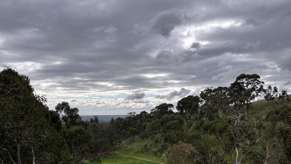
Adelaide is heading into a cold, showery start to the week, with wet and windy winter weather lingering through Tuesday before clearer skies and a sunnier run arrive across the city from midweek.
For today, Sunday is looking grey and damp across Adelaide, with a very high chance of showers and a top of just 15 degrees in the city. Westerly winds will make it feel brisk, especially near the coast, before easing back and turning northwesterly later in the day. The unsettled pattern sticks around on Monday, when showers are again expected across the metro area with a cool minimum of 10 degrees and a top of 16. Winds will shift from northwesterly to westerly through the middle of the day, keeping that wintry edge in the air.
By Tuesday, conditions begin to improve, although not before a few more showers move through, most likely in the morning. Adelaide can expect a partly cloudy day with showers easing later, and temperatures lifting slightly from 11 degrees overnight to 17 during the day. Winds will ease during the afternoon, which should make things feel a little calmer after a blustery start to the week.
From Wednesday, the forecast becomes much friendlier for anyone ready for a break from the rain. Adelaide is expected to turn partly cloudy and mostly dry, with only a slight chance of rain and the possibility of morning fog, mainly around the northern suburbs. The temperature will dip to a chilly 7 degrees before reaching 16. Thursday brings mostly sunny skies and light winds, with another cold start and a top of 17 degrees.
The best of the week looks set to arrive on Friday and Saturday. Friday will be sunny with light winds and a maximum of 18 degrees, while Saturday continues the bright run with sunshine, a low of 9 and a top of 19. Light winds are expected to become north to northeasterly later in the day, helping temperatures edge up. After several damp, cloudy days, the second half of the week should feel much more settled across Adelaide, with crisp mornings and classic clear winter afternoons.
Across South Australia, the broader picture is also one of a wet southern start followed by a drier midweek change. Showers are expected through Sunday and Monday across the agricultural area, especially along westward-facing coasts, ranges and the southeast. Tuesday should bring only isolated showers, becoming less likely as the day goes on, before dry weather takes over on Wednesday as high pressure strengthens across the state. Rainfall totals are expected to stay fairly modest in many places, with generally less than 2mm across the southern Pastoral districts and 2 to 5mm across much of the agricultural area and west coast. Higher totals are forecast for the westward-facing coasts, with 15 to 30mm possible about the Mount Lofty Ranges. Temperatures across the state are expected to remain near to below average through the period, while coastal areas can also expect fresh winds at times, particularly through the south and southeast.
Happy Sunday!
Adelaide 7-Day Summary Forecast
Sunday: Max 15°C – Showers.
Monday: Min 10°C, Max 16°C – Showers.
Tuesday: Min 11°C, Max 17°C – Showers easing.
Wednesday: Min 7°C, Max 16°C – Partly cloudy.
Thursday: Min 7°C, Max 17°C – Mostly sunny.
Friday: Min 7°C, Max 18°C – Sunny.
Saturday: Min 9°C, Max 19°C – Sunny.